
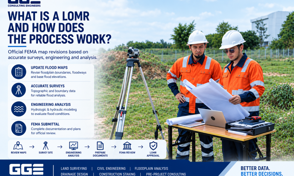
Floodplain mapping plays an important role in property development, infrastructure planning, and construction in Texas. When existing flood maps do not accurately represent current site conditions or proposed changes, property owners and developers may need to pursue a formal map revision. A LOMR Texas request can be part of that...
News
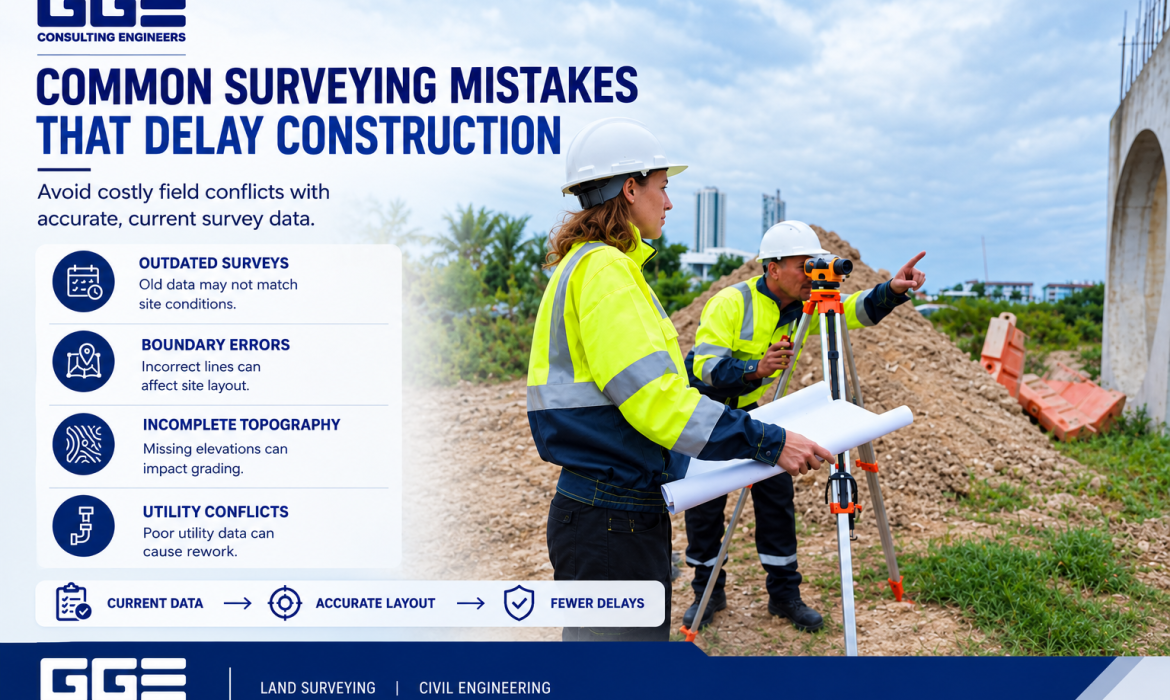
Common Surveying Mistakes That Delay Construction Projects
Accurate land surveying is an important first step in planning and constructing a successful project. Survey information helps property owners, developers, engineers, and contractors understand boundaries, elevations, utilities, drainage features, and existing site conditions before construction begins. When this information is incomplete or incorrect, problems can affect both design decisions...
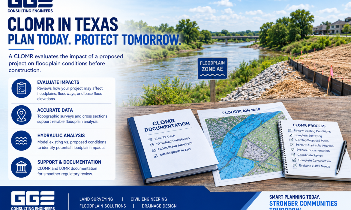
What Is a CLOMR and When Is It Required in Texas?
Developing property in or near a mapped floodplain requires careful planning. Flood zones, base flood elevations, drainage patterns, proposed grading, and site improvements can all affect how a project moves forward. One important FEMA process developers may encounter is a Conditional Letter of Map Revision, commonly known as a CLOMR....
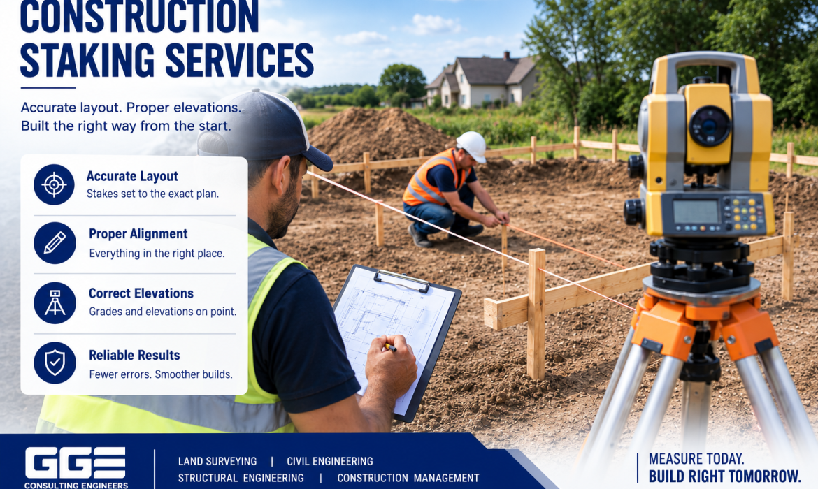
Construction Staking Explained: Why It Matters Before Building
Construction projects depend on accuracy from the first survey through final installation. Before a contractor begins building roads, foundations, utilities, drainage systems, or other improvements, the design shown on engineering drawings must be transferred accurately to the physical site. This process is known as construction staking. For developers and contractors...
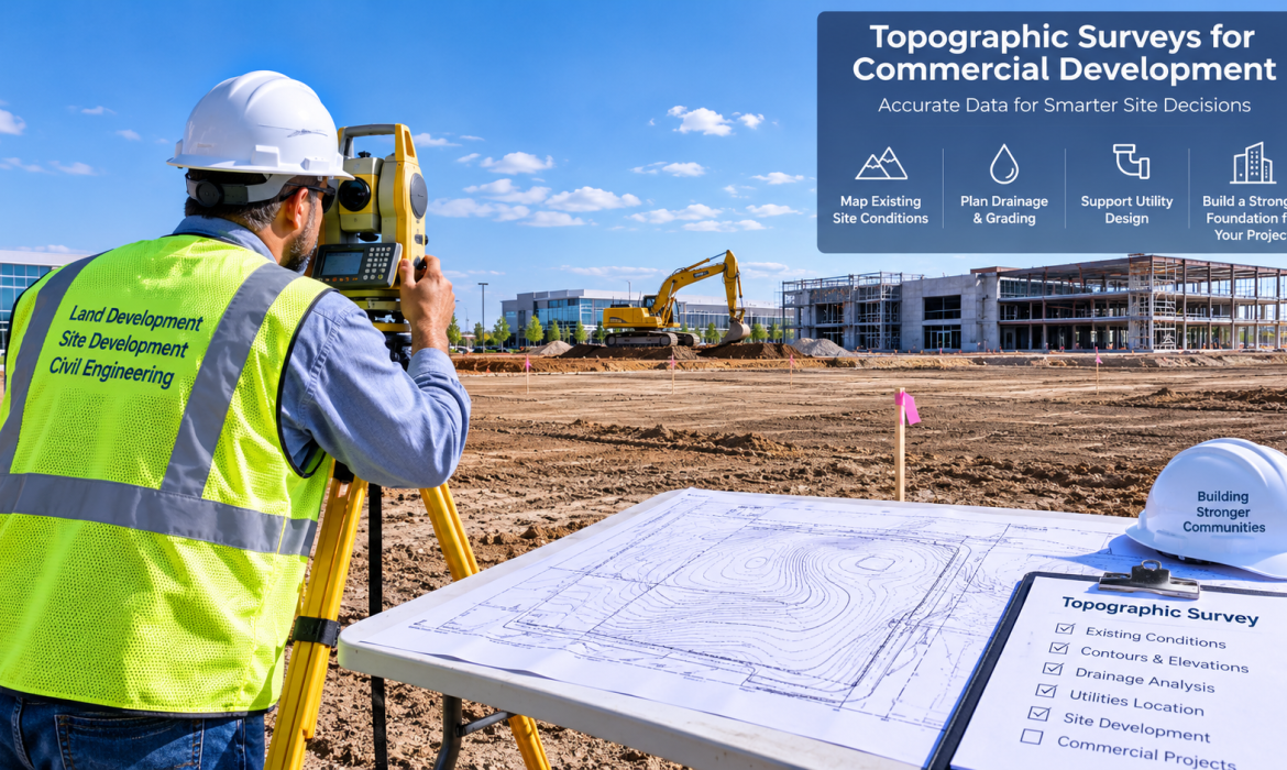
Topographic Surveys Explained for Commercial Development Projects
A topographic survey Texas commercial developers can use provides detailed information about existing elevations, terrain, drainage features, structures, and other physical conditions on a property. This information helps engineers understand the site before detailed design begins.For commercial projects, GGE Consulting Engineers uses surveying and engineering capabilities to support the transition...
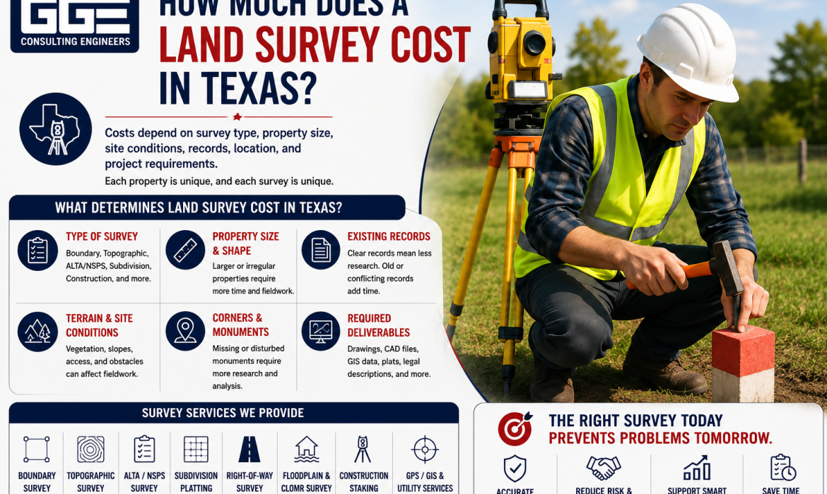
How Much Does a Land Survey Cost in Texas?
The land survey cost in Texas depends on the type of survey, property size, site conditions, records, location, and project requirements. GGE Consulting Engineers provides surveying services for property owners and development projects, helping clients determine the survey scope needed for their specific property. There is no single price that applies to...
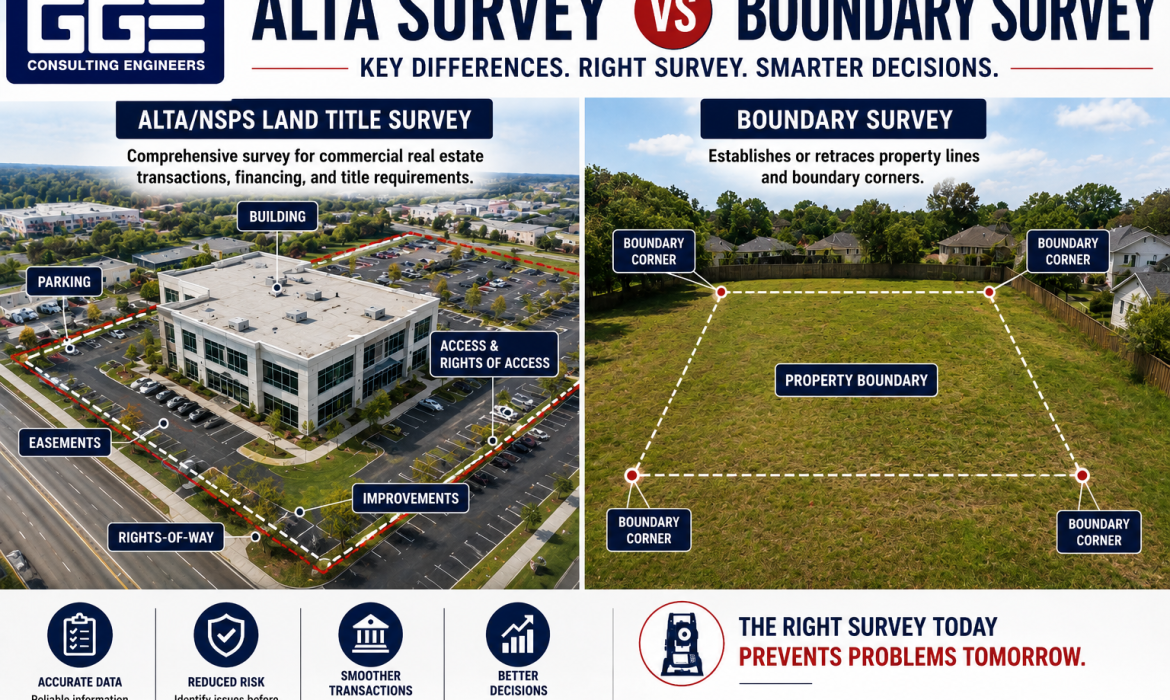
ALTA Survey vs Boundary Survey: Which One Do You Need?
Choosing between an ALTA survey vs boundary survey can be confusing when you are buying, refinancing, developing, or transferring property. Both surveys provide important information about land, but they serve different purposes. A boundary survey primarily establishes property lines, while an ALTA/NSPS Land Title Survey provides broader information for commercial...
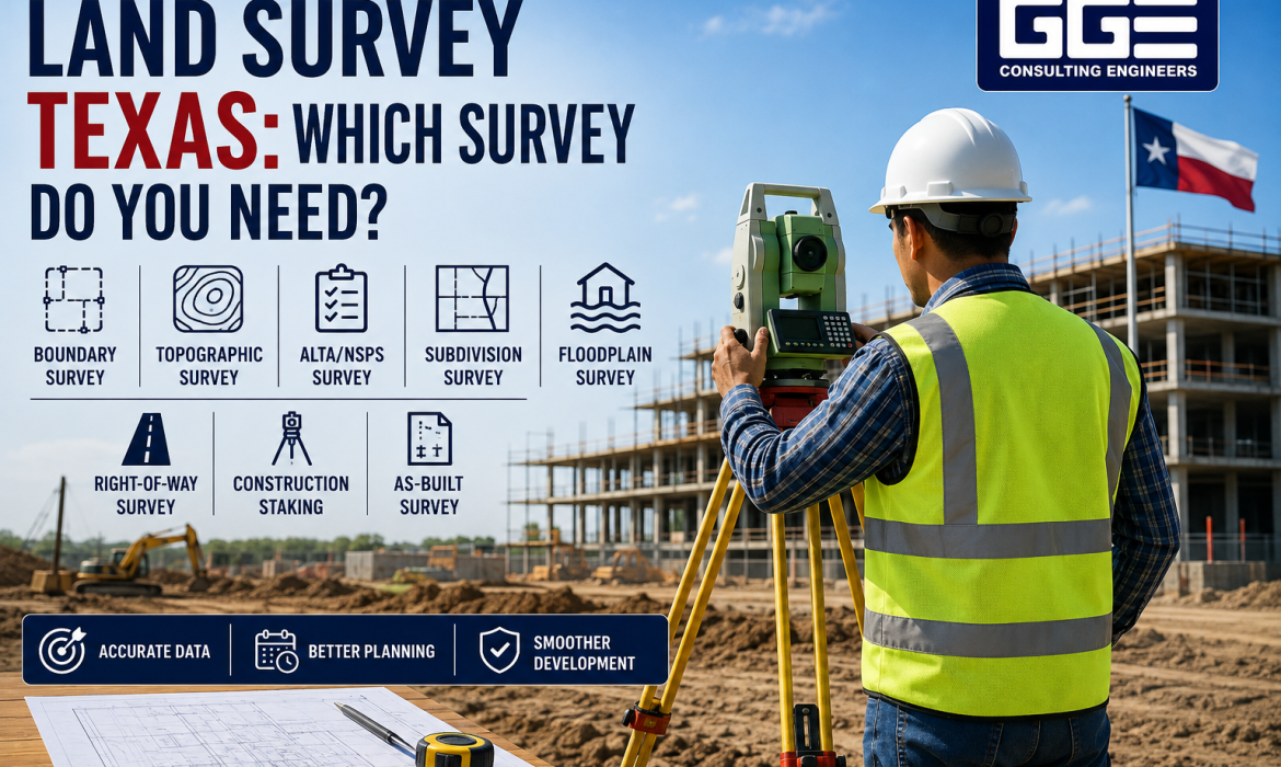
What Type of Land Survey Do You Need Before Developing Property in Texas?
Developing property in Texas involves more than purchasing land and preparing a construction plan. Before moving into detailed site design, developers need to understand the property's boundaries, elevations, existing improvements, drainage conditions, easements, and other physical features. That is where a land survey in Texas property developers can rely on becomes an...
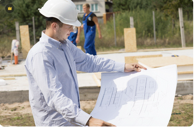
Commercial Development Checklist Texas: Every Step Before You Break Ground
If you are preparing for a commercial development project in Texas, having a structured checklist is not optional. It is one of the most practical tools a developer or property owner can use to stay on schedule, avoid regulatory setbacks, and control costs from the very beginning.Texas commercial development involves...
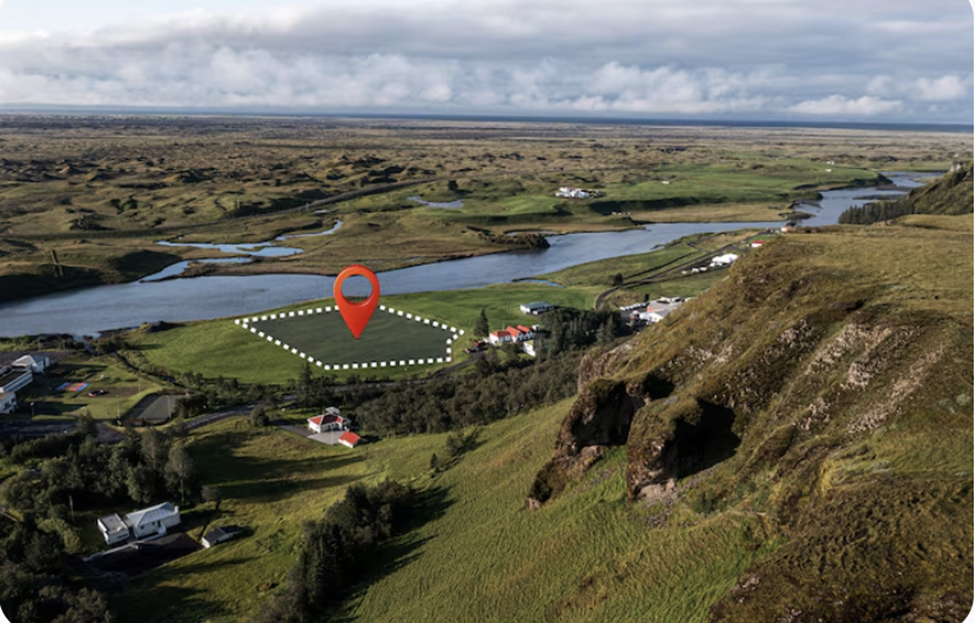
How Civil Engineers Help Developers Reduce Project Delays
Civil engineering for developers is one of the most direct levers for keeping construction projects on schedule. The right civil engineering team like GGE Consulting Engineers prevents permitting bottlenecks, eliminates design conflicts, coordinates utilities before they become crises, and catches site constraints that would otherwise surface mid-construction at the worst...