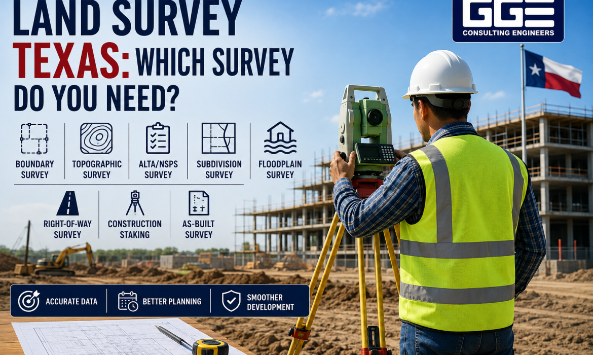
Developing property in Texas involves more than purchasing land and preparing a construction plan. Before moving into detailed site design, developers need to understand the property’s boundaries, elevations, existing improvements, drainage conditions, easements, and other physical features.
That is where a land survey in Texas property developers can rely on becomes an important part of the early planning process. The type of survey required depends on the purpose of the project. A boundary survey may be appropriate for confirming property lines, while a topographic survey may be necessary for grading and drainage design. Commercial property transactions can require an ALTA/NSPS Land Title Survey, while subdivisions, floodplain projects, and construction may require additional survey services.
Choosing the correct survey at the beginning can help the development team avoid incomplete site information, unnecessary redesign, and problems later in the permitting or construction process.
Why Is a Land Survey Important Before Property Development?
A professional land survey provides information that cannot be reliably determined from an aerial photograph, tax map, or general online mapping platform. It establishes or documents specific conditions that can affect how property is planned and developed.
For example, a parcel may appear large enough for a proposed building when viewed on a map. A Texas property survey could reveal an easement crossing the property, an unexpected boundary condition, an existing drainage feature, or a significant change in elevation.
These details can influence the location of buildings, parking areas, driveways, utilities, drainage infrastructure, and other improvements. Survey information is also an important input for civil engineering. When the survey and engineering teams coordinate early, the project can be designed around actual site conditions rather than assumptions.
What Type of Land Survey Do You Need in Texas?
There is no single survey that applies to every Texas development project. The appropriate survey depends on the property’s intended use, development stage, lender or title requirements, and local regulations.
|
Survey Type |
Primary Purpose |
Common Application |
|
Boundary Survey |
Establish property limits |
Property acquisition and site planning |
|
Topographic Survey |
Document elevations and existing features |
Grading, drainage, and civil design |
|
ALTA/NSPS Survey |
Document title-related property conditions |
Commercial transactions and financing |
|
Subdivision Survey |
Support lot division and platting |
Residential and commercial subdivisions |
|
Right-of-Way Survey |
Identify roadway and corridor limits |
Transportation and infrastructure |
|
Floodplain Survey |
Document elevation and terrain information |
Floodplain analysis and development |
|
Construction Staking |
Transfer design information to the field |
Construction layout |
|
As-Built Survey |
Document constructed improvements |
Project closeout and records |
These surveys serve different purposes, so developers should determine what information the project needs before selecting a survey scope.
Boundary Survey: Establishing Property Lines
A boundary survey focuses on determining and documenting the legal limits of a property. The surveyor may review deeds, recorded plats, previous surveys, monuments, and other available records before comparing those records with field conditions.
This type of survey can help establish property corners and boundaries and may identify relevant easements, rights-of-way, or potential encroachments within the agreed scope.
A boundary survey is particularly important when purchasing property for development, planning new construction, establishing setbacks, preparing a subdivision, or investigating a possible boundary discrepancy.
However, developers should not assume that a boundary survey automatically includes detailed elevation and existing-condition information. Those requirements generally call for a different or expanded survey scope.
Topographic Survey: Understanding Existing Site Conditions
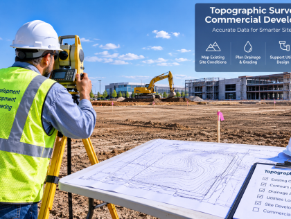
A topographic survey provides information about the physical characteristics of the property. Depending on the agreed scope, it can document elevations, contours, slopes, drainage features, structures, pavement, curbs, fences, trees, and other visible site improvements.
This information is especially important for civil engineering because existing elevations influence grading, stormwater drainage, utility design, roadway grades, and building placement.
For example, a commercial property may appear relatively level from an aerial image. A topographic survey could show that the site slopes toward one corner and that existing drainage patterns may affect the proposed development.
That information can influence the location of the building, finished-floor elevations, stormwater facilities, parking areas, access points, and utility infrastructure.
Boundary Survey vs. Topographic Survey
The easiest way to understand the difference is to consider the question each survey answers.
A boundary survey primarily answers, “Where are the legal limits of the property?”
A topographic survey primarily answers, “What physical features and elevation conditions exist on the site?”
For many development projects, both types of information are needed. The boundary establishes the legal framework for the site, while topographic information helps the engineering team understand the physical conditions within that framework.
ALTA/NSPS Survey for Commercial Property
An ALTA/NSPS Land Title Survey is commonly associated with commercial real estate transactions where detailed information about title-related property matters is required.
It may be requested when purchasing commercial property, obtaining financing, refinancing an existing property, or completing another transaction where the lender, title company, buyer, or other party requires a standardized survey.
An ALTA/NSPS survey can address items such as property boundaries, improvements, easements, rights-of-way, access, and other matters within the applicable survey scope.
Developers should confirm the required survey scope before ordering the work. An ALTA/NSPS survey should not automatically be assumed to replace a detailed topographic survey required for civil design.
Subdivision Survey for Dividing Property
When a developer plans to divide a larger tract into multiple lots, subdivision surveying and platting become important parts of the development process.
A subdivision project may begin with research and establishment of the parent tract boundary. Topographic information can then help the project team understand how proposed lots, roads, drainage facilities, utilities, and other improvements can fit within the property.
The proposed subdivision must work not only from a property-line perspective but also from an infrastructure and site-development perspective. Lot configuration can be affected by access, drainage, easements, utilities, roadway requirements, setbacks, and local development regulations.
GGE Consulting Engineers provides surveying services that include subdivision platting, boundary and topographic surveys, and coordination with civil engineering and agency review. This type of integrated workflow can be useful when survey information needs to support subsequent development design.
Right-of-Way Surveys for Roads and Infrastructure
A right-of-way survey can be required when development involves roadways, transportation corridors, utility corridors, drainage corridors, or other infrastructure-related property interests.
The survey may help establish or document right-of-way limits, property interests, monuments, access areas, and other information needed for the project.
For example, a developer planning improvements along an existing roadway may need to understand where private property ends and the roadway right-of-way begins before finalizing access improvements or widening plans.
Because right-of-way requirements can vary depending on the agency and project, the survey scope should be established early.
Floodplain and Elevation Surveys
Floodplain conditions can significantly affect property development in Texas. If a property is located within or near a mapped flood hazard area, additional elevation and topographic information may be needed.
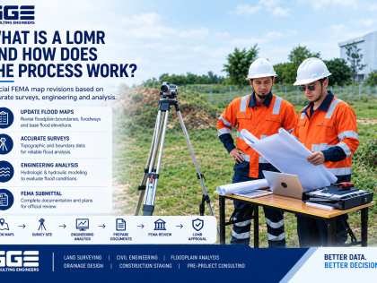
Depending on the project, survey data may support floodplain analysis, hydraulic modeling, cross-section development, drainage planning, or FEMA-related processes.
The importance of this information becomes clear when a proposed building site is close to a drainage channel or floodplain boundary. Elevation differences can affect finished-floor elevations, grading, access, drainage infrastructure, and the overall feasibility of a proposed layout.
GGE Consulting Engineers identifies floodplain and CLOMR surveying among its land surveying services, including survey work that can support hydraulic modeling and related floodplain processes.
Construction Staking: From Plans to the Ground
Surveying does not necessarily end once the civil engineering plans are complete.
Construction staking transfers approved design information from the plans to physical points on the site. Depending on the project, staking may establish building locations, road alignments, utility lines, elevations, grades, and other construction control points.
This helps contractors locate improvements according to the approved design.
Construction staking is different from a boundary or topographic survey because its primary purpose is to support construction based on finalized design information. GGE Consulting Engineers also lists construction staking among its surveying capabilities.
How to Determine Which Land Survey You Need
The best way to select a survey is to start with the development objective rather than the survey name.
1. Identify What You Plan to Do
First determine whether the property will be purchased, developed, subdivided, redeveloped, or improved. A commercial acquisition may have different requirements from a residential subdivision or a new industrial facility.
2. Review Existing Property Documents
Gather available deeds, plats, title information, previous surveys, easement documents, and existing plans. These records give the surveyor useful information before fieldwork begins.
3. Discuss the Project With the Civil Engineer
If the property will be developed, ask the civil engineer what existing-condition information is necessary for design. Depending on the project, that may include elevations, contours, drainage features, structures, pavement, utilities, trees, and roadway information.
4. Check Lender and Title Requirements
For commercial acquisitions and financed projects, ask the lender and title company whether an ALTA/NSPS survey is required. Confirm these requirements before commissioning the survey.
5. Review Local Requirements
Survey and development requirements can vary by city, county, project type, and reviewing agency. Local requirements should be checked before fieldwork begins.
6. Confirm the Final Deliverables
The survey team and project owner should agree on what will be delivered. Depending on the project, this may include a sealed survey, CAD files, digital terrain information, GIS data, legal descriptions, or plats.
Best Practices for Land Surveying Services Texas Developers Need
A successful development survey starts with clear communication. Instead of simply asking for “a property survey,” provide the surveyor with information about the planned development and explain how the survey will be used. Choosing appropriate land surveying services in Texas developers can rely on also means making sure the survey scope matches the property’s intended use and the project’s current stage.
For example, the survey requirements for a 10-acre commercial development may be considerably different from those for a simple property transaction. Providing this information allows the survey scope to be aligned with the actual needs of the project.
It is also useful to coordinate the survey with the civil engineering team before fieldwork begins. This allows the project team to identify the site features and data needed for grading, drainage, utilities, access, and other engineering tasks. Finally, do not rely on outdated survey information without checking whether it remains appropriate for the current project.
Common Land Survey Mistakes to Avoid
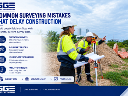
Surveying problems do not always result from inaccurate fieldwork. In many cases, they happen because the wrong scope was selected or important information was not considered early enough.
Developers should watch for these common issues:
- Ordering the wrong survey: A basic boundary survey may not satisfy commercial lender or title requirements.
- Assuming a boundary survey includes topography: Property boundaries and site elevations are different types of information.
- Starting design with incomplete site information: Missing elevations, drainage features, or existing improvements can lead to design changes later.
- Ignoring easements and rights-of-way: These restrictions can affect building placement, access, utilities, and drainage facilities.
- Using outdated survey information: An older survey may not reflect current site conditions or improvements.
- Waiting until construction: Discovering boundary or elevation issues after design and permitting can make corrections more expensive.
The goal is not simply to obtain a survey. It is to obtain the right survey information at the right stage of development so the project team can make decisions based on reliable site conditions.
How GGE Consulting Engineers Fits Into the Development Process
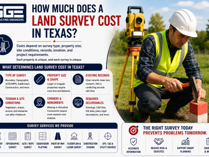
GGE Consulting Engineers provides land surveying services in Texas alongside civil and structural engineering services. Its surveying capabilities include boundary surveys, topographic surveys, ALTA/NSPS surveys, right-of-way surveys, subdivision platting, floodplain and CLOMR surveys, construction staking, GPS/GIS surveying, and utility-related services.
This combination can be relevant to development projects where survey information needs to move into civil design. Survey data can support site grading, drainage, utility planning, subdivision infrastructure, and other development-related engineering tasks.
For developers, the main consideration is not simply finding a company that can perform a survey. It is making sure the survey scope matches the actual requirements of the property and the next stage of the project.
Conclusion
Choosing the appropriate land survey Texas property developers need is an important step before detailed planning and construction. A boundary survey helps establish property limits, while a topographic survey provides information about existing elevations and physical conditions. Commercial projects may require an ALTA/NSPS survey, while subdivisions, floodplain developments, roadway improvements, and construction projects can involve additional surveying requirements.
For projects that require both surveying and engineering coordination, GGE Consulting Engineers provides a range of land surveying services Texas property developers may need, including boundary, topographic, ALTA/NSPS, subdivision, right-of-way, floodplain, and construction staking services. Contact us to discuss your property, project requirements, and the type of survey that may be appropriate for your development plans.
Frequently Asked Questions
What type of land survey is needed before developing property in Texas?
The appropriate survey depends on the project. Many developments need boundary and topographic information, while commercial acquisitions may require an ALTA/NSPS survey. Subdivision, floodplain, right-of-way, and construction projects can require additional survey services.
Is a boundary survey enough for property development?
Not necessarily. A boundary survey establishes property limits, but civil engineering design may also require topographic information, elevations, drainage features, utilities, and existing improvements.
What is the difference between a boundary and topographic survey?
A boundary survey focuses on property limits and related legal information. A topographic survey focuses on elevations, terrain, drainage, structures, and other existing physical features.
When is an ALTA/NSPS survey needed?
An ALTA/NSPS survey may be required for commercial acquisitions, financing, refinancing, or transactions involving specific title and lender requirements. The required scope should be confirmed before ordering the survey.
Do I need a survey to subdivide land in Texas?
Subdivision projects generally require professional surveying and platting to establish and document proposed lots and related property information. Specific requirements depend on the applicable jurisdiction and development regulations.
What is a topographic survey used for?
Topographic surveys provide existing-condition information that can be used for civil engineering, grading, drainage, roadway, utility, and site development design.
Do properties in floodplains need special survey information?
They may. Depending on the location and development proposal, additional elevation, topographic, or cross-section data may be required for floodplain analysis or hydraulic modeling.