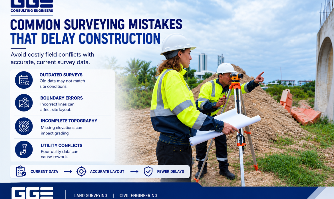
Accurate land surveying is an important first step in planning and constructing a successful project. Survey information helps property owners, developers, engineers, and contractors understand boundaries, elevations, utilities, drainage features, and existing site conditions before construction begins. When this information is incomplete or incorrect, problems can affect both design decisions and field activities. Common land surveying mistakes can create unexpected conflicts during construction.
For Texas development projects, choosing appropriate land surveying services Texas property owners can rely on is essential for maintaining accurate project information. GGE Consulting Engineers combines land surveying and civil engineering expertise to support property development, site planning, construction staking, drainage design, and other project requirements from initial surveying through construction.
Why Accurate Land Surveying Matters
A land survey provides essential information about the property and existing site conditions. Civil engineers, architects, contractors, and developers rely on this information when making decisions about site layout, grading, drainage, utilities, structures, and construction.
When survey information is incomplete or inaccurate, problems can move from the field into the design documents. Those issues may not become apparent until construction has already started.
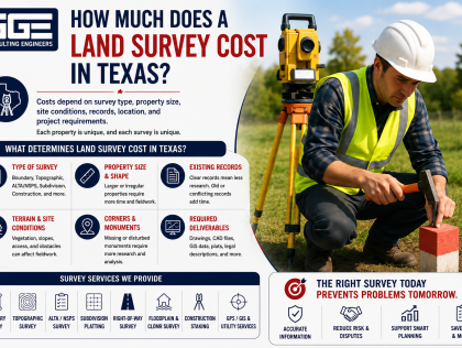
For Texas development projects, reliable Land Surveying services can provide the boundary, topographic, construction, and floodplain information required for different project stages.
Good surveying is not simply about measuring a property. It is about creating dependable information that other project disciplines can use.
1. Using Outdated Survey Information
One of the most common surveying mistakes is relying on an old survey without confirming whether site conditions have changed.
Properties can change significantly over time. New structures, utilities, pavement, drainage features, landscaping, fences, easements, and other improvements may have been added since the original survey.
A development project based on outdated information may therefore contain conflicts between the drawings and actual site conditions.
Before design begins, the project team should determine whether the existing survey is current enough for the proposed work.
A survey update may be appropriate when:
- Site improvements have changed
- New utilities have been installed
- Property conditions have changed
- Drainage features have been modified
- Previous survey information is incomplete
- Construction is based on older plans
Using current field information gives engineers and designers a more reliable starting point.
2. Failing to Confirm Property Boundaries
Property boundaries are especially important when improvements must remain within a specific parcel.
A common mistake is assuming that fences, walls, driveways, or other visible features represent the legal property boundary. Physical occupation does not necessarily establish the legal location of a property line.
Boundary surveys can identify property corners, boundary lines, easements, encroachments, and other relevant information.
This information can affect the location of:
- Buildings
- Parking areas
- Driveways
- Fences
- Utility improvements
- Drainage features
- Setbacks
GGE Consulting Engineers provides boundary surveying as part of its land surveying capabilities, helping establish the legal limits within which development can occur.
3. Incomplete Topographic Survey Data
Topographic information is essential for understanding the existing shape and elevation of a site.
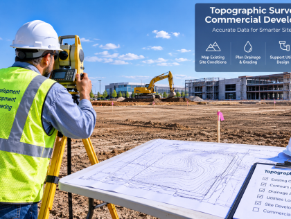
A topographic survey can identify ground elevations, contours, drainage patterns, existing structures, paved areas, trees, utilities, and other physical features relevant to site design.
One of the significant land surveying mistakes is collecting insufficient topographic information for the project’s engineering requirements.
For example, a survey may provide general elevation information but fail to capture enough detail around drainage channels or critical site transitions.
That can make it harder for civil engineers to accurately design:
- Site grading
- Stormwater drainage
- Roads
- Parking areas
- Utilities
- Building elevations
- Accessibility features
GGE’s Civil Engineering services rely on accurate existing-condition information when developing grading, drainage, roadway, utility, and site development plans.
4. Ignoring Easements and Encroachments
Easements can affect how a property is developed. Utility easements, access easements, drainage easements, and other recorded interests may restrict where improvements can be constructed.
Encroachments can also create conflicts between existing improvements and property boundaries or easement areas.
Failing to identify these conditions before design can result in a proposed improvement being placed in an area where construction may be restricted.
A thorough survey should therefore be coordinated with available property records and project requirements.
Developers should make sure the survey scope addresses the property information necessary for the proposed development.
5. Not Coordinating Survey Data With Engineering Design
Surveying and engineering are closely connected. The survey establishes existing conditions, while the engineer uses that information to develop the proposed design.
Problems can occur when survey information is prepared in a format, coordinate system, or level of detail that does not align with the engineering workflow.
This can create unnecessary manual adjustments and increase the possibility of errors.
GGE Consulting Engineers integrates land surveying with civil engineering, allowing survey information to flow directly into the engineering design process.
This approach is particularly useful for projects where grading, drainage, utilities, roadway improvements, and property boundaries all need to work together.
6. Using the Wrong Coordinate System or Datum
Coordinate systems and vertical datums are important technical components of a survey.
If project teams use inconsistent horizontal coordinates or elevation datums, different drawings may not align correctly.
This can cause problems when survey information is combined with:
- Civil engineering plans
- Architectural drawings
- Utility information
- Construction layout
- GIS data
- Hydraulic models
Before work begins, the project team should establish the appropriate coordinate system and vertical datum and make sure all disciplines use consistent information.
This is especially important for larger developments where multiple consultants may work from shared digital files.
7. Failing to Locate Existing Utilities
Existing utilities can create significant construction conflicts when they are not properly identified.
Above-ground utility features may be visible, but underground utilities can be more difficult to locate and verify.
A development project may involve water lines, sanitary sewer, stormwater systems, electrical infrastructure, communications, gas lines, and other utilities.
Relying only on available records may not provide enough information about the actual location or depth of underground infrastructure.
GGE Consulting Engineers provides Subsurface Utility Engineering services that can support the identification and mapping of underground utilities.
Better utility information can help engineers and contractors identify potential conflicts before excavation and construction activities begin.
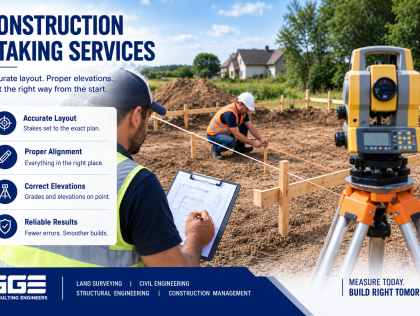
8. Poor Construction Staking
Construction staking translates approved design information into physical points on the ground.
If staking is based on incorrect plans, outdated survey data, or inconsistent control points, contractors may construct improvements in the wrong location or at the wrong elevation.
Construction staking may establish:
- Building corners
- Foundation locations
- Road alignments
- Utility lines
- Drainage structures
- Grading points
- Curbs and sidewalks
- Structural locations
Construction staking should be based on the current approved design documents and verified project control.
GGE’s construction staking services are integrated with its surveying and engineering workflow, helping contractors receive field layout information that corresponds with the project design.
9. Failing to Account for Floodplain Conditions
Floodplain conditions can significantly affect development planning.
A survey that does not capture sufficient information about channels, elevations, floodplain features, and other relevant conditions may not provide the data needed for hydraulic analysis.
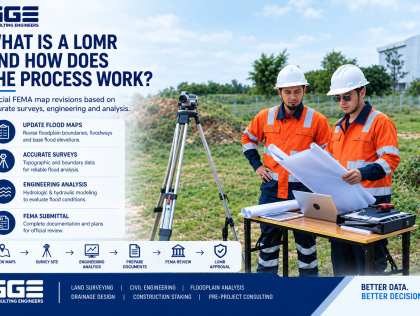
This can become particularly important when a project requires floodplain analysis, hydraulic modeling, or CLOMR and LOMR documentation.
GGE Consulting Engineers provides Floodplain and CLOMR Survey services, including topographic and cross-section surveys structured for hydraulic modeling.
Early identification of floodplain conditions can help project teams understand potential development constraints before construction planning advances.
10. Not Updating the Survey After Design Changes
Construction projects often change during planning and design. Building locations may shift, roads may be adjusted, utilities may be relocated, and grading plans may be revised.
If the survey and design information are not kept coordinated, field crews may work from information that no longer reflects the approved project.
Project teams should establish a clear process for communicating design changes to the surveyor.
Important updates may include:
- Revised building locations
- Changes to grading
- Utility relocations
- Roadway revisions
- Drainage modifications
- Property changes
- New site improvements
Maintaining current information helps reduce conflicts between design documents and field conditions.
How Land Surveying Mistakes Cause Construction Delays
Surveying mistakes do not always create immediate problems. In many cases, their effects appear later when construction crews discover inconsistencies between the plans and actual site conditions.
|
Surveying Issue |
Potential Construction Impact |
|
Incorrect boundary information |
Building or site layout conflicts |
|
Outdated survey |
Design does not match existing conditions |
|
Incomplete topography |
Grading and drainage revisions |
|
Missing easements |
Site layout changes |
|
Incorrect elevations |
Drainage or foundation problems |
|
Utility location errors |
Excavation conflicts |
|
Poor construction control |
Incorrect structure or utility placement |
|
Inconsistent coordinates |
Plans do not align |
|
Missing floodplain data |
Additional engineering analysis |
|
Unupdated survey information |
Field rework and coordination issues |
The earlier these issues are identified, the easier they are generally to address.
How to Avoid Common Land Surveying Mistakes
Avoiding surveying problems begins with selecting the appropriate survey scope and coordinating it with the project’s actual requirements.
Project owners and developers should consider the following:
- Define the intended use of the survey before fieldwork begins.
- Confirm whether boundary information is required.
- Determine the level of topographic detail needed.
- Identify known utility and drainage concerns.
- Establish project coordinates and vertical datum.
- Confirm the survey is current before design.
- Coordinate survey information with civil engineering plans.
- Update field information when major site conditions change.
- Use qualified surveying professionals familiar with Texas requirements.
- Confirm construction staking is based on current approved plans.
The survey should be treated as a core project document rather than simply an initial administrative requirement.
Choosing Land Surveying Services in Texas
Texas development projects can involve different surveying requirements depending on the property, project type, jurisdiction, and construction scope.
A commercial site may require boundary and topographic information, while a subdivision may also require subdivision platting and construction staking. Projects near floodplains may require specialized survey information for hydraulic modeling.
When evaluating land surveying services in Texas project teams should consider whether the surveyor can support the full project lifecycle.
Relevant capabilities may include:
- Boundary surveying
- Topographic surveying
- Subdivision platting
- Construction staking
- Floodplain surveying
- CLOMR and LOMR survey support
- Subsurface utility engineering
- As-built documentation
Working with a surveying team that understands how survey information is used in engineering and construction can improve coordination throughout the project.
Why Surveying and Civil Engineering Should Work Together
Many construction delays happen because information is transferred between separate project teams without enough coordination.
When surveying and civil engineering are integrated, existing site information can move more efficiently into grading, drainage, roadway, utility, and site development design.
GGE Consulting Engineers combines land surveying and civil engineering capabilities, allowing the same project team to work with the field data and engineering design.
This integrated approach can be particularly valuable for projects where survey information must support construction staking, floodplain analysis, grading, utilities, and final as-built documentation.
For projects that need broader technical review before construction, Pre-Project Consulting can also help identify design and site coordination issues before work begins.
Conclusion
Accurate surveying provides the foundation for reliable design and construction. Avoiding common land surveying mistakes can help Texas project teams reduce layout conflicts, design revisions, utility issues, and construction disruptions.
GGE Consulting Engineers combines land surveying and civil engineering to support projects from existing-condition surveys through construction staking and as-built documentation. Contact us to discuss your Texas project and determine the surveying services needed for your development.
Frequently Asked Questions
What are the most common land surveying mistakes?
Common mistakes include using outdated surveys, missing property information, incomplete topographic data, incorrect elevations, poor utility information, and failing to coordinate survey data with engineering plans.
How can surveying mistakes delay construction?
Surveying mistakes can lead to incorrect layouts, design revisions, utility conflicts, grading problems, and field rework. These issues can interrupt construction and require additional coordination.
Why is an updated land survey important?
An updated survey reflects current site conditions, including new structures, utilities, drainage features, and other improvements that may have changed since an earlier survey was completed.
Can incorrect property boundaries affect construction?
Yes. Incorrect boundary information can affect building placement, setbacks, driveways, utilities, fences, and other improvements that must remain within the appropriate property limits.
Why is topographic surveying important?
Topographic surveying provides elevation and existing-condition information needed for grading, drainage, roadway, utility, and site development design.
What is construction staking?
Construction staking transfers approved design information to physical points on the site. It helps contractors locate structures, utilities, roads, drainage features, and other improvements.
Can surveying help identify utility conflicts?
Yes. Surveying and subsurface utility engineering can provide information about existing utility locations and help identify potential conflicts before construction begins.
How can I avoid land surveying mistakes on a Texas project?
Start with a clearly defined survey scope, current field information, accurate control, proper documentation, and coordination between surveying, engineering, and construction teams.