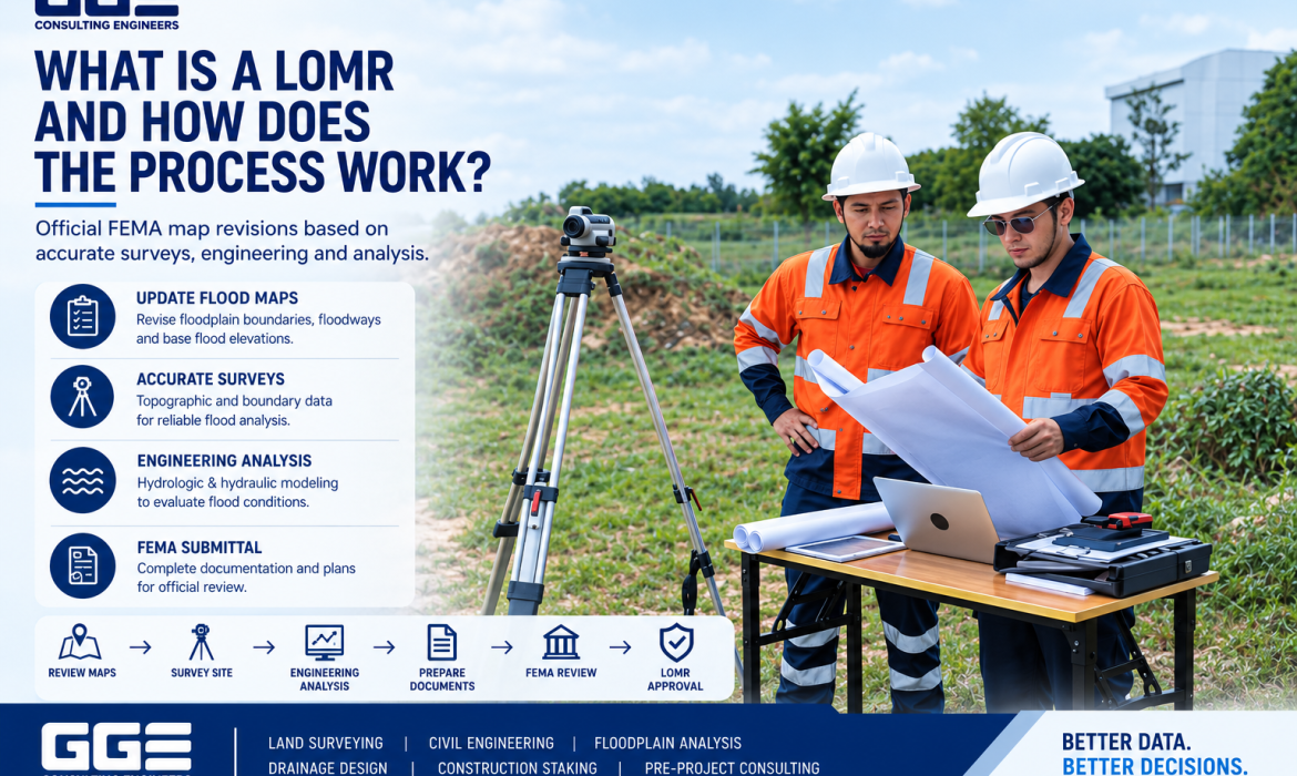
Floodplain mapping plays an important role in property development, infrastructure planning, and construction in Texas. When existing flood maps do not accurately represent current site conditions or proposed changes, property owners and developers may need to pursue a formal map revision.
A LOMR Texas request can be part of that process. A Letter of Map Revision allows FEMA to consider technical information that demonstrates how floodplain boundaries, flood elevations, or floodway conditions should be revised based on updated information or completed improvements.
Understanding the LOMR process before starting a development project can help teams plan surveys, engineering studies, hydraulic modeling, documentation, and agency coordination more effectively. GGE Consulting Engineers supports projects that combine land surveying, civil engineering, and floodplain analysis.
What Is a LOMR?
LOMR stands for Letter of Map Revision. It is an official FEMA determination used to revise an effective Flood Insurance Rate Map when technical information supports changes to mapped flood conditions.
A LOMR can address changes involving:
- Floodplain boundaries
- Floodway boundaries
- Base flood elevations
- Flood profiles
- Hydraulic conditions
- Hydrologic conditions
- Other technically supported flood mapping changes
The need for a LOMR generally arises when existing flood mapping no longer accurately represents conditions affecting a particular area.
For development projects, the revision process may involve detailed surveying, hydrologic analysis, hydraulic modeling, engineering documentation, and coordination with the applicable reviewing agencies.
When Is a LOMR Needed?
Not every project located near a mapped floodplain requires a LOMR. The need depends on the project, existing FEMA mapping, proposed improvements, and whether the project changes floodplain or floodway conditions.
A LOMR may become relevant when a project involves significant changes to drainage patterns, channels, bridges, culverts, flood control features, or other improvements that can affect modeled flood conditions. FEMA identifies modified hydrology, modified hydraulics, improved topographic information, channel improvements, new bridges or culverts, and large development or roadway projects among situations that may lead to a map revision.
Before beginning the process, the project team should determine whether the appropriate FEMA procedure is a LOMR, CLOMR, LOMR-F, LOMA, or another type of map change.
That distinction is important because each process addresses different circumstances.
LOMR vs. CLOMR: What Is the Difference?
LOMR and CLOMR are related but serve different purposes.
A Conditional Letter of Map Revision, or CLOMR, is generally associated with a proposed project. It allows FEMA to review the anticipated floodplain effects of a project before construction.
A LOMR, on the other hand, is used to officially revise an effective flood map based on the applicable technical information and project conditions.
In simple terms:
|
Map Change |
General Purpose |
Typical Timing |
|
LOMA |
Addresses certain properties shown within a mapped flood hazard area |
Existing condition |
|
LOMR-F |
Addresses qualifying changes involving placement of fill |
Existing or completed condition |
|
CLOMR |
Reviews the anticipated floodplain impact of a proposed project |
Before construction |
|
LOMR |
Officially revises an effective flood map |
Based on qualifying technical conditions |
The distinction between CLOMR in Texas projects and LOMR projects is especially important for developers. A project may require FEMA review before construction and a subsequent map revision after approved improvements are completed.
The correct pathway should be determined from the project conditions and applicable FEMA requirements.
What Information Is Needed for a LOMR?
A successful LOMR process depends on accurate technical information. The exact requirements can vary according to the project and the type of flood map revision being requested.
Common project information may include:
Property and Boundary Information
Accurate property boundaries help establish the relationship between the project area, adjacent properties, rights-of-way, drainage corridors, and other relevant features.
A current boundary survey can provide the legal framework needed for engineering and floodplain documentation. GGE Consulting Engineers provides Land Surveying services that include boundary surveys, topographic surveys, floodplain surveys, and other project-specific surveying needs.
Topographic Survey Data
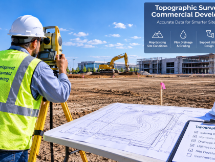
Topographic information is particularly important when existing ground elevations influence floodplain modeling.
A detailed survey may document:
- Ground elevations
- Channels and drainage features
- Bridges and culverts
- Existing structures
- Roads and paved areas
- Floodplain cross sections
- Other relevant site features
GGE integrates surveying information with engineering design, helping create a consistent existing-conditions base for floodplain analysis.
Hydrologic and Hydraulic Information
Floodplain studies may require hydrologic and hydraulic analysis to evaluate how water moves through a drainage system.
Depending on the project, the engineering analysis can consider drainage areas, flow rates, channel geometry, structures, roughness conditions, water-surface elevations, and other relevant variables.
Accurate survey information is important because hydraulic models depend on reliable physical site data.
How Does the LOMR Process Work?
The LOMR process generally involves several technical and administrative stages. Proper coordination between surveying and engineering teams can help prevent inconsistencies between the field data, engineering analysis, and submitted documentation.
1. Review Existing Flood Mapping
The first step is understanding the existing FEMA flood map and identifying how the property is currently mapped.
The project team should review the flood zone, floodplain boundaries, floodway information, base flood elevations, available studies, and other applicable mapping information.
This review helps establish what needs to change and what technical information may be required.
2. Complete the Required Survey
Surveying provides the physical information needed to evaluate existing site conditions.
For floodplain projects, the survey may include detailed elevations, drainage features, channel cross sections, structures, and other information needed for engineering analysis.
GGE’s Land Surveying services include floodplain and CLOMR survey work designed to support FEMA-related engineering and mapping projects.
3. Perform Engineering Analysis
Once the survey information is available, engineers can evaluate the site’s existing and proposed conditions.
Hydrologic and hydraulic modeling may be used to determine how the project affects flood elevations, floodplain limits, or floodway conditions.
The engineering analysis must be based on appropriate technical data and consistent modeling assumptions.
4. Prepare the Technical Documentation
The project team then prepares the technical materials required for the applicable map revision request.
Documentation may include engineering calculations, hydraulic modeling information, survey data, maps, plans, supporting certifications, and other required materials.
Accurate documentation is important because inconsistencies between drawings, survey information, and engineering models can create review issues.
5. Submit the Request for Review
The completed request is submitted through the applicable FEMA process.
Depending on the project, additional coordination with local authorities, floodplain administrators, reviewing agencies, or other stakeholders may also be necessary.
A complete submission helps reviewers understand the proposed or existing conditions and the technical basis for the requested map change.
6. Respond to Review Comments
FEMA or other reviewing agencies may request clarification, revisions, or additional supporting information.
The project team may need to update calculations, provide additional survey information, revise plans, or clarify technical assumptions.
Maintaining organized project records can make this stage more manageable.
7. Receive the Final Determination
If the request is approved, FEMA issues the applicable determination and updates the official flood mapping information as appropriate.
The final determination should then be incorporated into project records and considered during subsequent permitting, design, construction, and floodplain management activities.
Why Accurate Surveying Matters for a LOMR
Surveying is one of the most important components of floodplain engineering.
Flood elevations and boundaries can be sensitive to relatively small differences in ground elevation, channel geometry, structures, and other physical conditions.
An incomplete or outdated survey can therefore affect the reliability of subsequent engineering analysis.
For a LOMR in Texas project, survey information may need to support hydraulic modeling and demonstrate existing conditions accurately.
GGE’s Civil Engineering services can be coordinated with land surveying to support grading, drainage, floodplain analysis, and related development requirements.
Common Challenges During the LOMR Process
Several issues can make a flood map revision more complicated.
Incomplete Site Data
Missing elevations, drainage structures, cross sections, or other physical information can create gaps in the engineering analysis.
Outdated Surveys
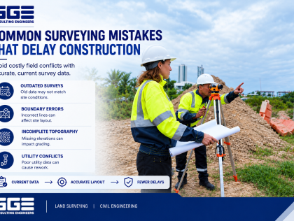
A survey completed years earlier may not accurately represent current site conditions, particularly where construction, grading, drainage improvements, or other changes have occurred.
Inconsistent Data
Survey coordinates, engineering models, plans, and other project documents should use compatible information and reference systems.
Changes During Construction
If the constructed project differs from the approved design, the final conditions may need to be evaluated before the appropriate map revision documentation is completed.
Poor Coordination
When surveying and engineering information is developed separately without adequate coordination, inconsistencies can appear between field measurements, design plans, and hydraulic models.
This is why integrated project planning can be valuable for complex floodplain projects.
How Developers Can Prepare for a LOMR
Developers can improve project coordination by considering floodplain requirements early in the planning process.
Before advancing a project, consider the following:
- Review existing FEMA flood mapping.
- Determine whether the project is within or near a regulated floodplain or floodway.
- Obtain current survey information.
- Identify drainage channels, culverts, bridges, and other relevant structures.
- Coordinate survey data with civil engineering design.
- Determine whether a CLOMR or LOMR may apply.
- Identify local permitting requirements.
- Maintain consistent project records throughout design and construction.
Early planning can help identify potential floodplain issues before they affect later project stages.
How GGE Consulting Engineers Supports Floodplain Projects
Floodplain projects often require multiple technical disciplines to work together.
GGE Consulting Engineers provides land surveying and civil engineering services that can be coordinated throughout the development process.
The firm’s Land Surveying services include floodplain and CLOMR surveys, topographic surveys, boundary surveys, and construction staking.
Its Civil Engineering services include drainage design, floodplain management, site development, roadway design, utilities, and related engineering services.
For projects that require early technical evaluation, Pre-Project Consulting can also help identify site and development considerations before detailed design begins.
This integrated approach helps keep survey information, engineering design, and project requirements aligned.
Conclusion
A LOMR is an important floodplain mapping process for projects where updated technical information supports changes to an effective FEMA flood map. Understanding the difference between a LOMR and a CLOMR, obtaining accurate survey information, and coordinating engineering analysis early can help keep floodplain projects organized.
For Texas property development, combining reliable land surveying with civil engineering can provide a stronger foundation for floodplain evaluation and project planning. GGE Consulting Engineers provides integrated surveying and engineering support for floodplain, drainage, site development, and related projects.
Contact us to discuss your Texas floodplain, surveying, or engineering project and determine what information may be needed for the next stage of planning.
Frequently Asked Questions
What does LOMR stand for?
LOMR stands for Letter of Map Revision. It is an official FEMA determination used to revise an effective flood map when qualifying technical information supports changes to mapped flood conditions.
What is a LOMR in Texas?
A LOMR in Texas is a FEMA map revision that can reflect changes to floodplain boundaries, floodways, or flood elevations when supported by appropriate technical information and analysis.
Is a LOMR the same as a CLOMR?
No. A CLOMR generally addresses the anticipated effects of a proposed project, while a LOMR is used to officially revise an effective flood map based on applicable technical information.
When might a Texas development need a LOMR?
A LOMR may be relevant when development or other improvements change conditions represented on an effective FEMA flood map, such as floodplain boundaries, floodway conditions, or flood elevations.
Does a LOMR require a land survey?
Many LOMR projects require detailed survey information because accurate elevations, drainage features, channels, structures, and other site conditions may be necessary for floodplain analysis.
How does a topographic survey help with a LOMR?
A topographic survey provides accurate information about existing elevations and physical site conditions. This information can support hydraulic modeling and help engineers evaluate floodplain conditions.
Can a LOMR be required after construction?
Depending on the project and applicable requirements, a map revision may be needed after construction to reflect qualifying changes to floodplain or floodway conditions shown on an effective map.
Who should be involved in a LOMR project?
A LOMR project may involve a registered professional land surveyor, civil engineer, hydraulic or floodplain specialist, property owner, developer, contractor, and applicable local or federal reviewing agencies.